

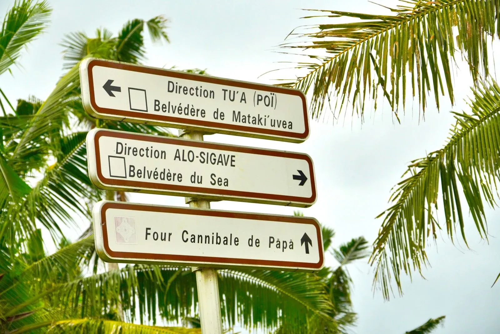
How Long Does it Take to Travel Around Wallis and Futuna?
Whether you’re wondering how long it takes to explore Wallis (Uvea) or how to get between Wallis and Futuna, this guide to travel times and distances has you covered.
From quiet coastal roads to short inter-island flights, here’s everything you need to know about getting around.
Wallis and Futuna? Wait, maybe start with Where is Wallis & Futuna Located? if you're just getting your bearings.
This article is based on real on-the-ground research, not on AI scraping old content from the internet. Learn how we use AI!
Table of Contents
How to Get Around Wallis and Futuna
Inter-island travel in Wallis and Futuna is available via scheduled domestic flights between Wallis and Futuna, operated with small aircraft and arranged through local travel agencies.
Flights typically depart from Hihifo Airport on Wallis and take approximately 1 hour to Futuna’s airport. There are no regular ferry services between the islands, making air travel the primary method of inter-island transport.
On Wallis itself, getting around is straightforward with rental cars available in Mata’Utu, as well as local taxis for shorter trips. Road networks circle the lagoon and provide easy access to beaches, villages and historical sites.
On Futuna, transport options are more limited but rental vehicles and guided trips can be arranged for exploring the island.
Find out more about getting around in our full Wallis & Futuna Transport Guide.
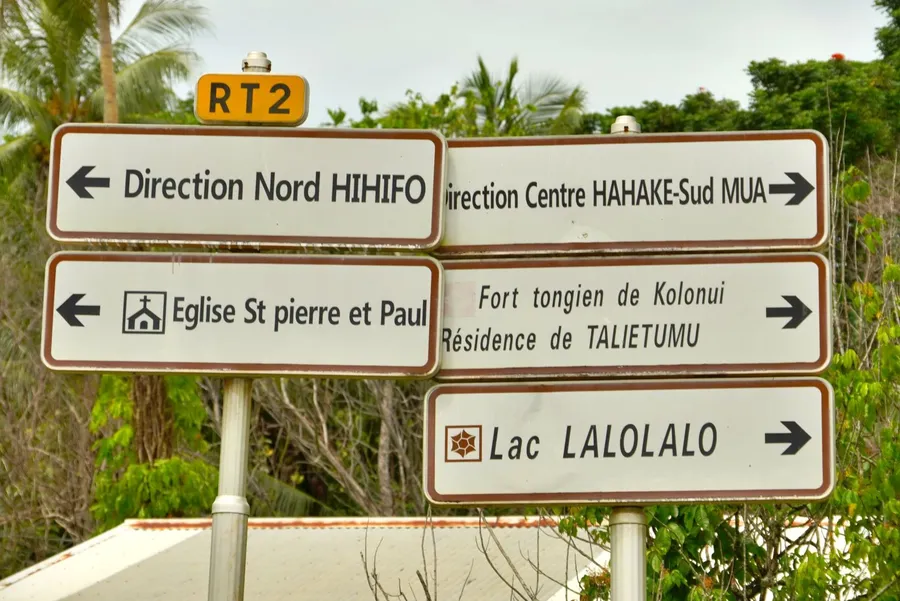
Travel Times On/From Wallis
Wallis is the main island where most visitors arrive, typically via Hihifo Airport. See Which Airlines Fly Directly to Wallis & Futuna? to find out how long it takes to get here.
You can get around the island by rental car, taxi, or guided tours. For more details, check out our Wallis Transport Guide: Best Ways to Get Around Wallis.
How Long Does it Take to Drive Around Wallis?
Driving the main coastal road around Wallis takes about 45 minutes to cover roughly 45 km (28 mi).
Only the eastern side of the island and some inland roads are paved, while the roads on the western side of the island, to Lake Lalolalo, are rough dirt roads. Speed limits range from 30-80 kph (20-50 mph) but the dirt road on the western side will slow you down tremendously.
Driving Times from Mata'Utu to:
(Kilometres / Miles / Minutes)
- Lake Lalolalo (from the south): 13.6 km / 8.5 mi / 17 mins
- Gahi Bay: 7 km / 4 mi / 10 mins
- Talietumu Tongan Fort: 11.3 km / 7 mi / 15 mins
- Hihifo Airport: 6.6 km / 4.1 mi / 9 mins
- Cathedral of Mata'Utu: 0.5 km / 0.3 mi / 1 min
Driving Times from Hihifo Airport to:
(Kilometres / Miles / Minutes)
- Cathedral of Mata’Utu: 7.1 km / 4.4 mi / 11 mins
- Lake Lalolalo (from the south): 15.9 km / 10 mi / 19 mins
- Talietumu Tongan Fort: 13.6 km / 8.5 mi / 17 mins
- Gahi Bay: 12 km / 7.5 mi / 15 mins
Taxi Boat Times from:
(Kilometres / Miles / Minutes)
- Liku to Tekaviki: 1.6 km / 1 mi / 5-15 mins
- Liku to Luaniva: 1.62 km / 1 mi / 5-15 mins
- Liku to Fugalei: 2.5 km / 1.6 mi / 5-15 mins
- Liku to Nukuhione: 3.6 km / 2.2 mi / 5-15 mins
- Vailala to Nukutapu: 3.3 km / 2.1 mi / 15-25 mins
- Vailala to Nukuteatea: 2.7 km / 1.7 mi / 15-25 mins
- Vailala to Nukuloa: 3.25 km / 2 mi / 15-25 mins
- Vailala to Nukufotu/Nukula'ela'e: 3.6 km / 2.2 mi / 15-25 mins
- Halalo Village to Isle of St Christophe: 2.2 km / 1.4 mi / 20-30 mins
- Halalo Village to Nukuatea (Isle of Lepers): 3.5 km / 2.2 mi / 20-30 mins
- Halalo Village to Faioa: 7 km / 4.3 mi / 20-30 mins
- Halalo Village to Fenua Fo'ou: 5.3 km / 3.3 mi / 20-30 mins
- Gahi Bay to Isle of St Christophe: 8.5 km / 5.3 mi / 20-30 mins
- Gahi Bay to Nukuatea (Isle of Lepers): 7.6 km / 4.7 mi / 20-30 mins
- Gahi Bay to Faioa: 6.9 km / 4.3 mi / 20-30 mins
- Gahi Bay to Fenua Fo'ou: 8.7 km / 5.4 mi / 20-30 mins
Flight Times from Hihifo Airport to:
- Pointe Vele Airport (Futuna): 1 hour
Learn more about inter-island transport in our guide, Domestic Flights in Wallis & Futuna: Your Guide to Interisland Flights.
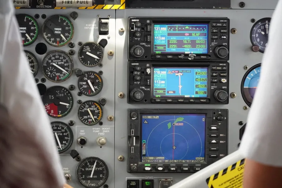
Travel Times On/From Futuna
The Futuna and neighbouring Alofi are remote yet deeply rewarding destinations in Wallis and Futuna. Futuna is typically accessed via domestic flights from Wallis, landing at Pointe Vele Airport on the island’s southeast coast. Alofi, which has an inhabitant of one, is reached by taxi boats from Futuna, weather permitting.
Once on land, travel options are limited to rental vehicles, accommodation transfers where available, or walking, as infrastructure is minimal and villages are small.
How Long Does it Take to Travel Around Futuna?
Like Wallis, it takes approximately 45 minutes to drive the coastal road around Futuna, covering roughly 32 km (20 mi).
The mainly sealed but pothole-heavy road follows much of the island’s perimeter, passing through villages such as Leava and Poï. At the time of writing, the road was closed at Pyramid Point (Utu Magalua), making the full island circuit impossible. However, it was close to completion and could now well be open.
Alofi has no roads or permanent transport services. Exploring the island is done entirely on foot after arriving by boat.
For hiking trail times and natural highlights, check out our guide to the Best Walks and Hikes in Wallis & Futuna.
Driving Times on Futuna from Leava to:
(Kilometres / Miles / Minutes)
- Pointe Vele: 11.4 km / 7.1 mi / 20 mins
- Toloke (Somalama and Afiafi Hotels): 6.8 km / 4.2 mi / 16 mins
- Pierre Chanel Basilica (Poï): 13.1 km / 8.1 mi / 25 mins
- Utu Magalua (Pyramid Point): 14 km / 9 mi / 27 mins
- Taoa Village (south coast): 5.2 km / 3.2 mi / 10 mins
- Nuku Village (west coast): 1.1 km / 0.7 mi / 3 mins
Driving Times on Futuna from Pointe Vele Airport to:
(Kilometres / Miles / Minutes)
- Pierre Chanel Basilica (Poï): 6.3 km / 3.9 mi / 14 mins
- Toloke (Somalama and Afiafi Hotels): 18.3 km / 11.4 mi / 30 mins
- Taoa Village (south coast): 6.7 km / 4.2 mi / 12 mins
- Nuku Village (west coast): 13 km / 8 mi / 25 mins
- Utu Magalua (Pyramid Point): 11.1 km / 6.9 mi / 20 mins
- Leava: 11.4 km / 7.1 mi / 20 mins
Boat & Flight Times to Alofi:
(Kilometres / Miles / Minutes)
- From Vele Jetty to Alofi: 1.7 km / 1.1 mi / 10-15 mins depending on weather conditions.
Walking Times on Alofi from Alofitai:
(Kilometres / Miles / Minutes)
- Loka Cave: 7.5 km / 4.7 mi / 2 hrs 30 mins
- Ganiu Beach: 4 km / 2.5 mi / 1 hour
- Sa'avaka Beach: 5.5 km / 3.4 mi / 1 hr 30 mins
Learn more about inter-island routes and schedules in our guide Domestic Flights in Wallis & Futuna: Your Guide to Interisland Flights.

Editor's Choice
FugaUvea Rental & Accommodation
Explore Wallis and Futuna at your own pace with our "Grand" 4WD car rental. Choose from reliable Toyota Hilux or Foton Tunland models, available in automatic or manual transmission with air...
More About Wallis and Futuna Travel Times and How Long it Takes to Travel Around Wallis and Futuna
That's it for our guide to the Wallis and Futuna travel times and distances. Now that you know how long it takes to travel around Wallis and Futuna, see more travel times in the following articles:
- What are the Flight Times to Wallis & Futuna?
- Which Airlines Fly Directly to Wallis & Futuna?
- How Long Does it Take to Sail to Wallis & Futuna?
Finally, plan the rest of your adventure using The Complete Travel Guide to Wallis & Futuna and the 30 Tips for Travelling in Wallis & Futuna.


-SEB%20CREDIT%20WallisandFutunaPocketGuide.com-900x633.webp?v=2026-04-07T00%3A32%3A11.548Z)